Why I Never Hit the Trail Without My Digital Kit
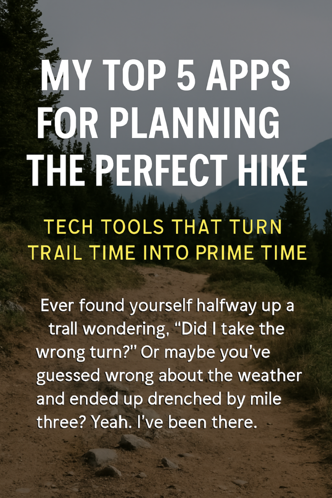
Let me paint a picture: two summers ago, I took a last-minute trip to the Smokies. I figured I’d wing it with a paper map and a rough idea of where I was headed. Fast forward three hours into the trail, and I was lost, low on water, and my phone had no reception. That was the last time I let poor planning sabotage my weekend escape.
Now? I use a carefully curated set of hiking apps that have transformed how I prep for every adventure. These tools don’t replace the magic of being unplugged—they help me get the most out of my time off the grid. Whether you’re a casual day-hiker or prepping for a multi-day trek, these are the five apps I count on to plan the perfect hike.
What Makes a Great Hiking App? (And Why You Should Care)
Not all trail apps are created equal. Here are the criteria I use to separate gimmicks from game-changers:
- Offline Access: If it doesn’t work without a signal, it doesn’t work for me.
- Topographic Detail: Elevation, water sources, switchbacks—I want it all.
- User Interface: Shouldn’t require a tutorial to navigate mid-hike.
- Battery Efficiency: Some apps are power hogs—the good ones aren’t.
- Community Data: Reviews, pictures, tips from other hikers? Yes please.
- Wearable Integration: Bonus points if it syncs with GPS watches or smart trackers.
1. AllTrails – The Gold Standard for Route Discovery
If you’ve searched for a hiking trail online, you’ve probably landed on AllTrails. It’s the most downloaded hiking app for a reason.
- Top Features: Route filters (difficulty, length, dog/kid-friendly), trail reviews, elevation profiles, and downloadable maps.
- Why I Love It: Perfect for finding hidden gems near new towns or deciding between loop and out-and-back routes.
- Pro Tip: Download your maps before you leave the city. The Pro version also includes real-time map overlay and off-route alerts.
2. Gaia GPS – Topographic Precision and Off-Grid Reliability
For serious elevation gains, backcountry routes, or national forest exploration, Gaia GPS is a powerhouse.
- Top Features: Layered maps, offline topographic and satellite maps, slope angle, public/private land boundaries.
- Why I Love It: Gaia shines when I need topo-level detail and offline reliability. I once used it in deep fog to safely navigate ridgelines.
- Wearable Sync: Integrates with Garmin smartwatches for live tracking.
3. PeakVisor – ID Every Summit Like a Pro
Ever stare out at a mountain range and wonder, what peak is that? PeakVisor gives you answers in seconds.
- Top Features: AR overlays to identify mountains, 3D terrain maps, elevation data.
- Why I Love It: I use it every time I hit high ground. It’s fun, accurate, and educational.
- Offline Functionality: Full AR and map features work without signal.
4. FarOut (formerly Guthook) – Long-Distance Trail MVP
Originally built for thru-hikers, FarOut is loaded with real-world wisdom.
- Top Features: Water sources, campsites, elevation profiles, waypoints, hiker comments.
- Why I Love It: I use it for long sections of the Appalachian Trail and any hike that spans multiple days.
- Pro Use Case: It shines for remote or rugged trails where traditional GPS apps fall short.
5. Weather Underground – Hyperlocal Forecasts That Matter
Don’t underestimate how fast the weather can turn. This app has saved me more than once.
- Top Features: Hyperlocal radar, storm tracking, sunrise/sunset data, real-time alerts.
- Why I Love It: It’s my go-to for timing treks around afternoon storms or catching that golden-hour view.
- Bonus: Integrates with smart home/weather station data for extreme accuracy.
Bonus Mention – Komoot for Planning Multi-Activity Adventures
If your hike is part of a bigger weekend that includes biking or trail running, Komoot is ideal.
- Top Features: Multi-sport routing, route elevation, highlights from other users.
- Why I Love It: It’s the best app for planning hybrid adventure weekends where trail variety is key.
Comparison Table of All 5 Apps
| App Name | Offline Access | Best For | Price Range | Wearable Integration |
|---|---|---|---|---|
| AllTrails | Yes | Route discovery & photos | Free / Pro | Apple Watch |
| Gaia GPS | Yes | Topo maps, backcountry | Free / Premium | Garmin, Apple Watch |
| PeakVisor | Yes | Mountain identification | Free / Pro | Limited |
| FarOut | Yes | Long-distance hiking | Paid trail packages | No |
| Weather Underground | Yes | Weather forecasting | Free / Premium | No |
FAQs
Q: Which app is best for off-grid hiking?
A: Gaia GPS wins here. It has highly detailed offline maps and topographic layers you won’t get anywhere else.
Q: How do I conserve phone battery while using these apps?
A: Turn on airplane mode, lower screen brightness, and pre-download maps. I also carry a 10,000mAh solar-rechargeable battery.
Q: Do I need to pay for the premium versions?
A: Not always. Free versions of AllTrails and Gaia are great for casual hikes. But if you’re venturing further out, the premium features are 100% worth it.
Safety Tips for Using Apps in the Wild
- Always download offline maps before you leave.
- Use a phone case with a lanyard or tether. Dropping your phone in the woods? Not ideal.
- Pack a backup battery or solar charger, especially for hikes over 4 hours.
- Still bring a paper map and compass. Tech is great, but analog is failproof.
Final Thoughts: Hike Smarter, Not Just Harder
Technology doesn’t replace the joy of unplugging—it supports it. With the right apps, you can discover new trails, navigate safely, understand your environment better, and plan with confidence.
So before your next hike, take 10 minutes to prep your digital kit. Trust me: it’s one of the easiest ways to elevate your outdoor experience.
Ready to level up your trail game? Start with AllTrails or Gaia GPS and build from there.
Leave a Reply